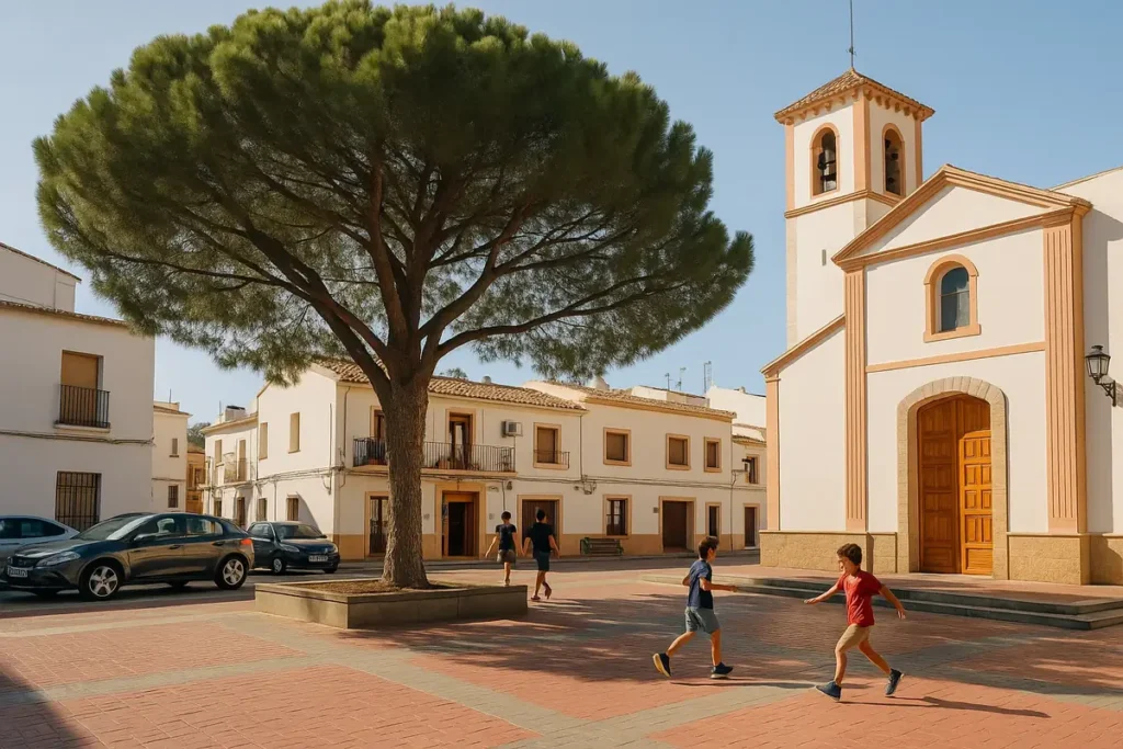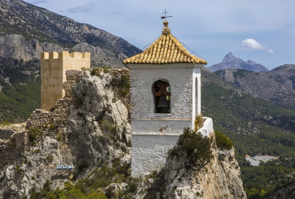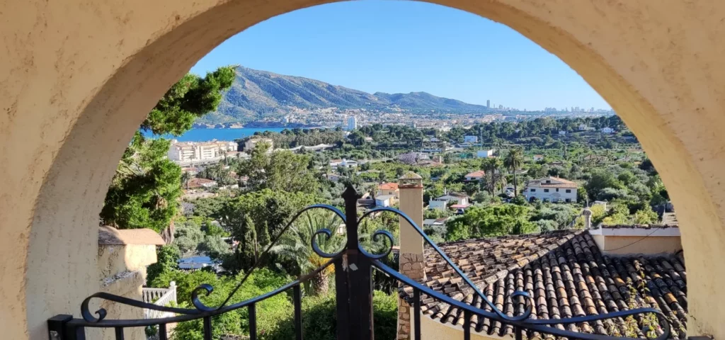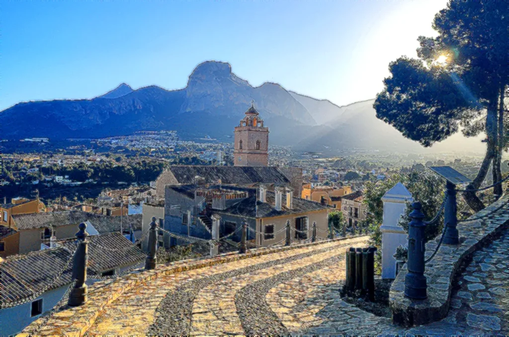
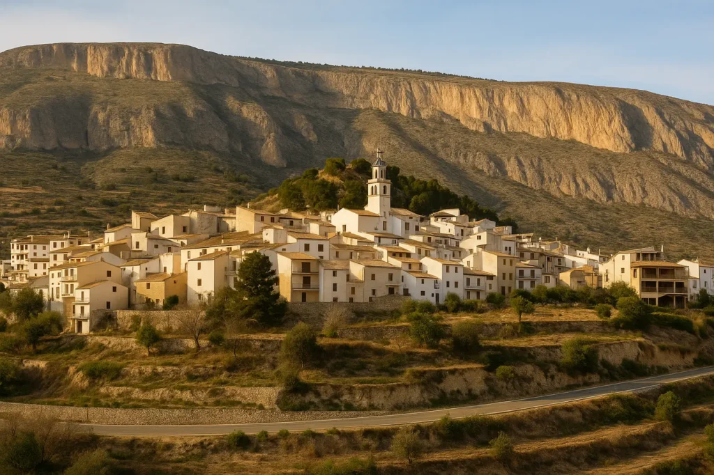
As you approach Sella by road, the first impression is almost cinematic: a small stone village of pale houses perched on the hillside, its bell tower watching over the valley like an old sentinel. From a distance it has that air of an abandoned medieval village, the kind of place that holds stories, silences, and things you only discover if you dare to step inside. And that’s exactly why it’s worth a closer look.
As you round the final bend, what seemed like a place frozen in time starts to reveal life: open windows, well-tended orchards, people strolling through the narrow streets… and that mountain scent you only find in the inland Marina Baixa. Sella stops being “that mysterious village on the hillside” and becomes an authentic, peaceful corner full of natural beauty.
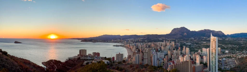
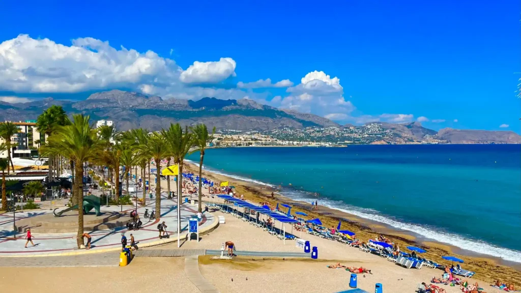
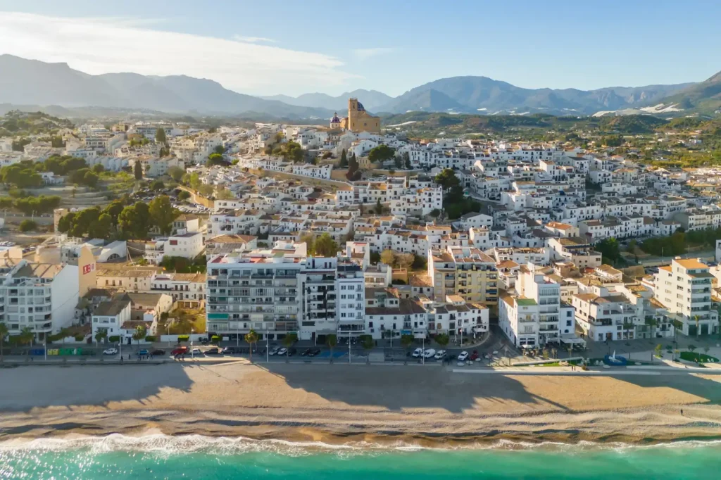
Very close to Benidorm, El Albir, or Altea, this small enclave surprises with its history, its views, its home cooking, and above all, its famous Water Route, a trail through springs, irrigation channels, and old mills that shows you the real Sella.
Although Sella is a quiet, mountain-ringed village today, its roots run far back. Its documented origins date to the Muslim era, when this whole area was part of the alquerías, small farming hamlets scattered across the inland Marina Baixa. At the highest point of the village stood an Arab fortress — the old Santa Bárbara Castle— which watched over the valley and protected the crops that depended on water channelled down from the mountains.
After the Christian conquest, Sella became part of the Kingdom of Valencia. As happened in many towns, the great turning point came in 1609, with the expulsion of the Moriscos. The village was left almost empty and had to be repopulated with families from other parts of the interior, such as Agres, Cocentaina, and various nearby municipalities.
That farming past left something behind that is now one of Sella’s greatest treasures: its ancient water systemof irrigation channels, mills, and canals, which you can still follow thanks to the famous Water Route. For centuries, this network irrigated terraced fields in a dry, rugged landscape; today it has become a historic trail where you literally walk across the region’s Muslim heritage.
Perhaps because of its location, tucked between ravines and mountains, Sella has kept a very distinct personality. It hasn’t experienced the overcrowding of the coastal areas, nor has it lost its mountain-village structure. Its narrow streets, whitewashed houses, and unhurried pace preserve an old-world feel that matches that first mysterious impression you get from seeing it from afar.
Table of Contents
ToggleHOW TO GET TO SELLA
Despite looking like a village hidden away in the mountains, getting to Sella is surprisingly easy. That makes it a perfect day trip if you’re staying in El Albir, Benidorm, Altea, Alfaz del Pi, or anywhere along the northern Costa Blanca.
From Alicante
AP-7 towards Benidorm
Take the CV-770 exit towards Sella
Approximate time: 50–55 minutes
From El Albir, Altea, or Alfaz del Pi
Take the N-332 to La Nucia
Join the CV-755
Then join the CV-770 towards Sella
Approximate time: 25–30 minutes
From Benidorm
A very comfortable route via the CV-758 → La Nucia
Then the CV-770
Approximate time: 20–25 minutes
The access road is a mountain road, yes, but it’s in good condition and the views are impressive.
Also, Google Maps has it pinpointed: searching for “Sella Alicante”, “Sella pueblo”, or simply “Sella Marina Baixa” takes you straight to the town centre.
Where to Park in Sella
To start your visit or the Water Route, the most used and convenient spots are:
Parking by the Sella Cemetery (large and free)
Municipal Swimming Pool car park
The lower backstreets of the village (on a quiet day)
If you’re visiting on a weekend or public holiday, it’s a good idea to arrive a little early to park without any hassle.
THE CHARM OF SELLA
Sella has something that words don’t quite capture. It’s the kind of village that looks asleep when you see it from a distance… but once you step inside, the pace changes and so does the air.
The old town is made up of narrow streets, pale façades and small squares where a soft light always seems to bounce off the walls. There’s no rush, no noise, no cars passing by every couple of minutes. What you find instead is quiet everyday life, neighbours greeting each other, beautifully kept traditional houses and that mountain scent mixed with woodsmoke that reminds you everything here moves more slowly.
Santa Ana Church, with its bell tower visible from almost anywhere, marks the heart of the village. Several streets branch off from there, tangled together like a small maze, perfect for losing yourself for a while without thinking about anything.
And if you look up, the Sierra de Aitana is always there, huge, green and rugged, wrapping around the village like a natural wall. That contrast between the human and the wild is what gives Sella its half-medieval, half-magical charm.
Viewpoints and Views You Can’t Miss
Although it’s a small village, Sella has corners well worth the walk:
Mirador del Castillo viewpoint (former Santa Bárbara Castle): Barely any ruins remain, but the views over the ravines are a must for photos.
Mirador hacia la Aitana viewpoint: Often catches you by surprise as you turn a corner.
Views from the upper terraced fields: Not an official viewpoint, but this is where the soul of the village really is.
A Quiet Place, Yes… But Not an Empty One
Sella isn’t a stage set. There are bars, small shops, local life, old-fashioned bakeries, and people heading down for bread or coffee on the terraces. That “mysterious village” you see from the road suddenly turns into a place with real soul.
THE FAMOUS SELLA WATER ROUTE
(SL-CV 112)
If there’s one reason so many people discover Sella, it’s its Water Route. And here’s something very real: it looks pretty in photos… but in person it’s so much better.
This circular trail follows old irrigation channels, mills and water channels that the Moors built centuries ago to carry water from the mountain down to the village’s terraced fields. Today, this walk has become one of the most popular in the Marina Baixa: easy, scenic, historic and perfect for unplugging.
Route Technical Information
The figures vary slightly depending on the exact version, but the official trail sheet and recent tracks agree on the following:
Distance: between 6 and 7.5 km, depending on the section you choose
Elevation gain: approx. +200 / +220 m
Duration: 2h – 2h 30min (at a relaxed pace)
Type: Circular
Difficulty: Easy (suitable for families)
Official trail: SL-CV 112 Ruta de l’Aigua
It’s not a technical trail.
It’s a long, beautiful walk.
Recommended Starting Point for the Water Route
You can start right in the village itself, but the easiest option is from:
Parking by the Sella Cemetery
Municipal Swimming Pool car park
Both are free and perfect for leaving the car without having to squeeze through narrow lanes.
What You Will See on the Water Route
This is where the route really gets beautiful. It is not just about walking: it is about discovering spots full of history and water between the mountains.
1. Historic Irrigation Channels
Old, narrow, and some are still in use.
They are the heart of the route.
2. Medieval Flour Mills
A testament to a way of life built around water and farming.
3. La Font Major
A perfect spot to rest for a while, take photos, or grab a bite to eat.
4. Font de l’Alcàntera
A hidden gem tucked away in the vegetation.
5. Pozas naturales
After it rains (or in winter) they fill up and the water is crystal clear.
In dry season they get lower, but they are still a lovely spot to stop.
Route Explained Step by Step
Here is what Google and hikers love:
Setting off from the cemetery car park
Information panel → first steps → start of the trail.First Irrigation Channels
A narrow, safe path in the shade, very photogenic.Mills and Water Channels
A calm, historic spot, perfect for photos.A Gentle Climb Toward the Terraced Fields
Views over the ravine and the mountains.Font Major
A must-stop.Font de l’Alcàntera
One of the prettiest spots.A Loop Back Along the Wide Trail
Panoramic views of the village and Aitana.
Is It Suitable for Kids?
Yes.
Lots of families do it, and there are no dangerous spots.
The only things to keep in mind:
Bring plenty of water
A hat in summer
Sturdy footwear (hiking shoes, not sandals)
Very kid-friendly, honestly.
¿Se puede hacer con perro?
Sí, totalmente.
Eso sí:
Keep them on a leash
Watch out for the heat
Do not let them into narrow irrigation channel sections
Best Time to Do the Water Route
Spring and autumn: PERFECT
Winter: cold but very pretty
Summer: get an early start is key (too hot after 11:00)
After it rains is when the pools are fullest.
Practical Tips (the Ones That Actually Help)
Get an early start on weekends.
Bring more water than you think you need.
Do not count on mobile signal (it comes and goes).
Be very careful if it has rained a lot: the rocks get slippery.
There are no bars along the route: eat before or after.
If you want photos with water, go during the wetter season.
If you are coming from Albir, Benidorm, or Altea: it really is a 25-minute drive.
In case you want it shorter or longer:
Short Route
Only the irrigation channels and mills area → approx. 3.5 km.
Perfect for families with young children.
Full Route (the Official One)
The 6-7.5 km
with Font Major, Alcàntera, and back.
Extended Route Toward the Mountains
There are trails that connect to the upper area of Aitana.
(Perfect if you want a more serious day of hiking.)
Important: A Clarification About “Sella”
Many tourists search for:
“Sella River”
“Sella descent”
“Sella route”
That is Asturias, not Alicante.
The Ruta del Agua de Sella, the one featured in this article, is all about hiking, nature, and history.
There is no canoeing and no navigable river.
WHERE TO EAT IN SELLA
Después de hacer la Ruta del Agua o de pasear por el casco antiguo, Sella es de esos pueblos donde the food just tastes better. There aren’t 20 restaurants, but the few that do exist put their heart into it: home cooking with that mountain touch you always want.
Here are the spots that come recommended most, and that truly deserve a visit:
1. Casa Placeta
The village classic. Authentic Alicante cooking, well made and without frills.
Great rice dishes, mountain meats, and traditional stews.
Perfect if you want something homely and hearty.
2. Mesón Sella
A simple place with soul. Here the rice dishes, cazuela-style dishes, and the warm, family feel take center stage.
A great choice for a meal after the hike.
3. Bar El Cantó
The spot to grab tapas without overthinking it.
Sandwiches, classic tapas, cold beer, and a local vibe.
Ideal if you do not want to commit to a full menu.
4. Finca Les Coves
More modern, more polished, set in gorgeous countryside.
Perfect if you want something different, with a more current touch but still local ingredients.
3. Bar El Cantó
El sitio para ir a tomar unas tapas sin complicarte la vida.
Bocadillos, tapas clásicas, cerveza fría y ambiente local.
Ideal si no quieres sentarte a un menú completo.
4. Finca Les Coves
Más moderno, más cuidado y en un entorno rural precioso.
Perfecto si buscas algo diferente, con un toque más actual pero con ingredientes locales.
Typical Dishes You Should Try
Sella sits deep in the mountains, so the food follows that same spirit:
Arròs amb fesols i penques
Olleta de blat (traditional stew)
Mountain stews
Alicante-style cocas (flatbreads)
Oven-baked or mountain-style rice dishes
Bold flavors, the kind that hit the spot after a day of hiking.
Local Tip
If you are going on a public holiday, long weekend, or Sunday between March and October, book ahead.
Sella can look small, but on weekends it fills up really fast because so many visitors arrive from Benidorm, Altea, and La Nucia.
SELLA AS AN ESCAPE FROM THE INLAND COSTA BLANCA
If you are staying in El Albir, Benidorm, Altea, or anywhere along the coast, Sella is one of those escapes that surprises you, because you do not expect something this authentic just minutes from the sea.
In just 20 to 30 minutes by car, you go from the tourist bustle to a mountain village with quiet, fresh air, and views of the Sierra de Aitana.
That shift from coast to inland is exactly what makes Sella a perfect half-day trip or a full day out.
How Much Time Do You Need to Visit Sella?
It depends on your plans:
Quick visit (1h – 1h 30 min):
Walk through the old town + viewpoints.Half-day plan (3h – 4h):
Water Route + a walk + a meal in the village.Full day (6h – 7h):
Water Route + old town + viewpoints + a meal + a relaxed afternoon.
The Perfect Spot to Unplug
If you’re coming from Benidorm or Albir, where things move faster, Sella works like a “reset button.”
It’s nature, calm, history, and hassle-free routes, perfect for:
couples
families
occasional hikers
photographers
anyone who wants a lovely plan without the effort
It also pairs perfectly with other inland destinations
From Sella, you can easily connect to:
Polop (10–12 min)
Guadalest (20–22 min)
Relleu (20 min)
Orxeta (15 min)
Aitana / Port de Tudons (a beautiful road if you keep climbing)
This lets you piece together full routes through inland Marina Baixa without covering long distances.
A Perfect Plan Any Time of Year
Spring and autumn: Wonderfully green, with ideal temperatures.
Winter: Clear days, beautiful light, and a very peaceful atmosphere.
Summer: Start early for the Water Route, then spend the rest of the day seeking shade or eating in the village.
CONCLUSION
For all these reasons, we wholeheartedly recommend including Sella on your route if you’re visiting the province of Alicante.
Whether it’s to enjoy its Water Route, wander its historic old town, learn about its fascinating past, or savor its local cuisine, Sella will surprise you.
A gem of the inland Costa Blanca that deserves to be discovered.
Frequently Asked Questions About Sella (FAQs)
1. How long does the Sella Water Route take?
Typically between 2 and 2.5 hours, depending on your pace.
If you’re going with children, add another 20–30 minutes.
Is the Water Route difficult?
No. It’s an easy route, with a gentle elevation gain (about 200 meters) and well-marked paths.
Suitable for families and for people who don’t hike often.
Can you do the Sella Water Route with children?
Yes, absolutely.
It’s one of the most recommended routes for a family day out in the Marina Baixa.
All you need is good footwear and water.
Is there water in the pools all year round?
It depends.
After rainfall or in winter, they usually have crystal-clear water.
In summer or during dry spells, they can be lower, but they’re still one of the prettiest spots on the route.
Where can you park for the Sella Water Route?
The two most convenient spots are:
Sella cemetery car park
Municipal Swimming Pool car park
Both are free and well located.
Do you need to book a table to eat in Sella?
On regular days, no.
But on Sundays, long weekends, and high season, Sella fills up and it’s a good idea to book at Casa Placeta, Mesón Sella, or Les Coves.
What’s the most beautiful thing about Sella?
The Water Route (SL-CV 112)
The historic irrigation channels and mills
The old town
The views of the Sierra de Aitana
Its peaceful mountain-village atmosphere
Is there public transport to Sella?
Not directly from the coast.
The easiest way is by car.
From Benidorm, Albir, or Altea, you’ll get there in 20–30 minutes.
What to visit near Sella?
Very close by, you have:
Polop (10 min)
Guadalest (20 min)
Orxeta (15 min)
Relleu (20 min)
Aitana, if you head up toward Port de Tudons
Perfect for combining into a full day trip.
Does it get very hot in summer?
Yes, quite a bit.
If you’re doing the Water Route in July or August, get an early start: begin before 9:00 a.m.
From 11:30 onward, the sun gets strong.
Is there shade on the Water Route?
Yes, in several stretches, especially near the irrigation channels and pine areas.
But it’s not a fully shaded route.
Can you bring a dog?
Yes, it’s a very dog-friendly route, as long as they’re kept on a leash and have enough water.
Is Sella on the Costa Blanca?
Yes, but on the inland Costa Blanca, within the Marina Baixa.
It’s not a coastal village, but it’s very close to Benidorm, Altea, and El Albir.
What clothing should you bring to visit Sella?
It depends on the season:
Hiking shoes
A hat in summer
Something warm in winter (it’s colder than on the coast)
Water, always, even on cool days
Is it safe to do the route after it rains?
Yes, but with caution.
The stones around the irrigation channels can get slippery.
If it’s rained heavily, wait a day for extra safety.
Sources:
Gastronomía de Sella — descripción en la web de turismo del pueblo
— typical dishes, a profile of Alicante cuisine.Guía “Qué ver en Sella” en la web oficial de turismo de la Comunidad Valenciana
— good tourist descriptions and features of the village.Lista de restaurantes en Sella en TripAdvisor (2026)
— to support the dining section for Sella.
What to See Near Sella
Sella is just the starting point. Very close by are other villages and corners of inland Marina Baixa that round out any getaway: viewpoints, castles, nature trails, ravines, and landscapes that feel like another province.
Below is a selection of recommended places to explore before or after your visit to Sella. You can open them one by one from the small visual cluster you’ll find below.
If at any point you want to return to the start of this guide, you can do so here: